What is a traffic separation scheme, and why does it cap strait transit capacity?
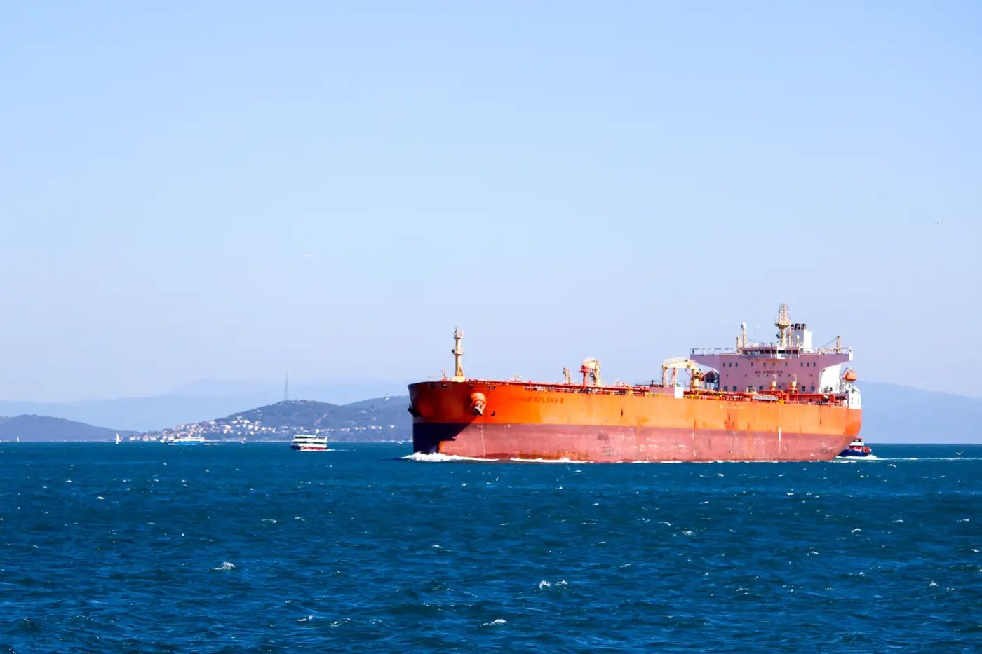
A traffic separation scheme, or TSS, is a set of marked lanes the IMO establishes at a strait, approach, or other confined stretch of water to keep opposing traffic apart. One lane carries inbound vessels, another carries outbound, and a separation zone (sometimes just a painted line on the chart, sometimes a buffer a mile wide) sits between them. Vessels follow Rule 10 of the COLREGs inside a TSS: stay in your lane, cross at close to a right angle if you must cross, don't anchor in it unless you're in distress. The Strait of Hormuz, the Dover Strait, the Singapore Strait, and the Bosphorus all run on some version of this system.
The scheme exists for collision avoidance, not throughput. That's the part people miss when they ask why a strait can't just "move more ships." A TSS fixes the geometry of the channel. It doesn't widen it when traffic builds.
How a TSS actually caps throughput
Picture the lane as a pipe with a fixed cross-section. Width is set by the hydrography, the charted channel depth, and how much maneuvering room a laden tanker or ULCV needs to hold its line in current. None of that expands because forty ships showed up instead of fifteen.
A few things narrow the pipe further:
- Speed differentials. A loaded bulker doing 10 knots and a container ship doing 18 can't both be mid-lane without one overtaking, and overtaking inside a TSS is restricted or banned outright in tighter straits.
- Pilot and tug windows. Many chokepoints require compulsory pilotage, and pilots board from a limited number of boats on a schedule. If the pilot station is backed up, nothing downstream moves on time regardless of lane capacity.
- Tidal and visibility gates. Some straits only run deep-draft traffic on a rising tide, or close the scheme in fog. The lane exists around the clock; the window to use it doesn't.
- Precautionary areas at the ends. Where a TSS meets open water or another scheme, vessels have to merge and separate, which is where a lot of the actual queuing starts, often miles before the named strait itself.
Stack those constraints and you get a hard ceiling on how many vessels a day the scheme can physically pass, no matter how much demand is waiting behind it.
Why "strait transit capacity" isn't one number
Trade press and government sources sometimes quote a daily transit figure for a given strait as if it's fixed. It isn't. Capacity on a given day is a function of vessel mix (more tankers slow the average), weather, how many pilots are on duty, and whether the local vessel traffic management center is running single or dual-direction convoys that day. A chokepoint that cleared 90 transits last Tuesday can clear 60 this Tuesday with the same lane geometry, same charts, same rules.
That's the gap carrier ETAs usually don't account for. A carrier schedule assumes the TSS clears at its usual rate. When a VTS center starts holding traffic (for a grounding, a security incident, poor visibility, or just a backlog from the shift before), the queue builds behind the strait well before anyone downstream gets a delay notice. By the time a carrier confirms it, the ships have often been stacked up for a day or more.
That lag between a queue forming and a carrier admitting it is exactly the gap Trade Route Monitoring is built to close: a daily read on vessel count behind a named chokepoint, so congestion shows up on your desk before it shows up in a shipping line's status email.
If you're tracking a specific strait, canal, or crossing and want to see the queue instead of waiting on someone else to report it, that's the whole offer.